INSURANCE
Underwriting
Solutions
Leveraging satellite imagery and analytics to deliver unique insights on properties, vessels and regions.
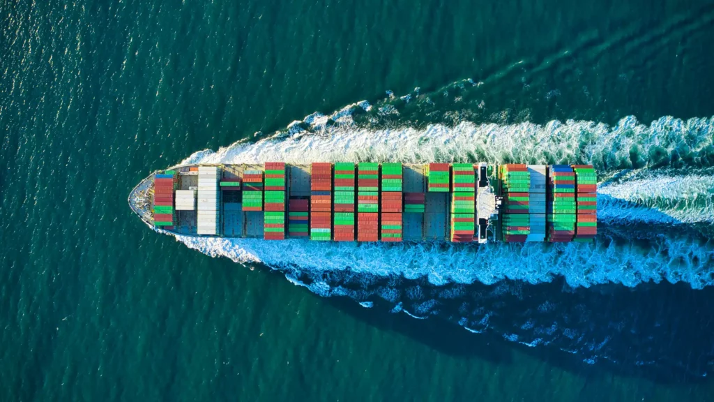
Marine Hull and War
We help marine underwriters easily assess the risk of a vessel or portfolio based on journeys, service history, ESG score etc.
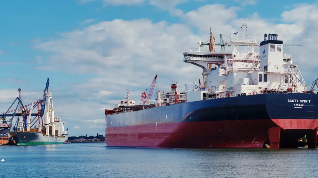
Marine Cargo
Skytek analyses historical trading patterns to assess trends on 12 key cargo categories over a multi year time frame.
Aviation All Risks & Aviation War
Comprehensive global aircraft tracking, portfolio management, and historical risk analysis at airports, combined with post-incident assessments. Includes long-term trend monitoring at airports and along flight corridors to enhance predictive modeling and risk mitigation. Continuously monitors geopolitical events that affect global flight paths, airspace access, and airport operations.
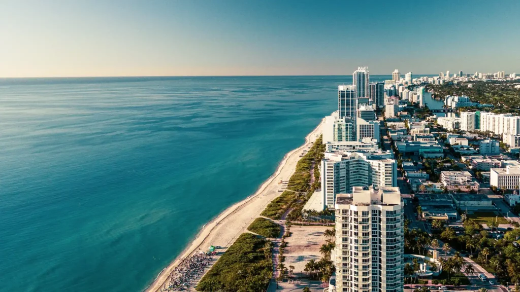
Property
High-resolution satellite imagery helps insurers assess risks more accurately and make more informed underwriting decisions about
- Commercial Buildings
- Energy assets (mobile and fixed)
- Ports and Terminals etc.
Custom reports from Skytek’s Satellite Club combine imagery with analytics to provide a unique view of a property and its proximity to potential hazards.
Cyber
Our cyber reports help insurers identify vulnerabilities, potential threats, and areas of non-compliance through a comprehensive evaluation of an organisations IT systems, networks, and controls.
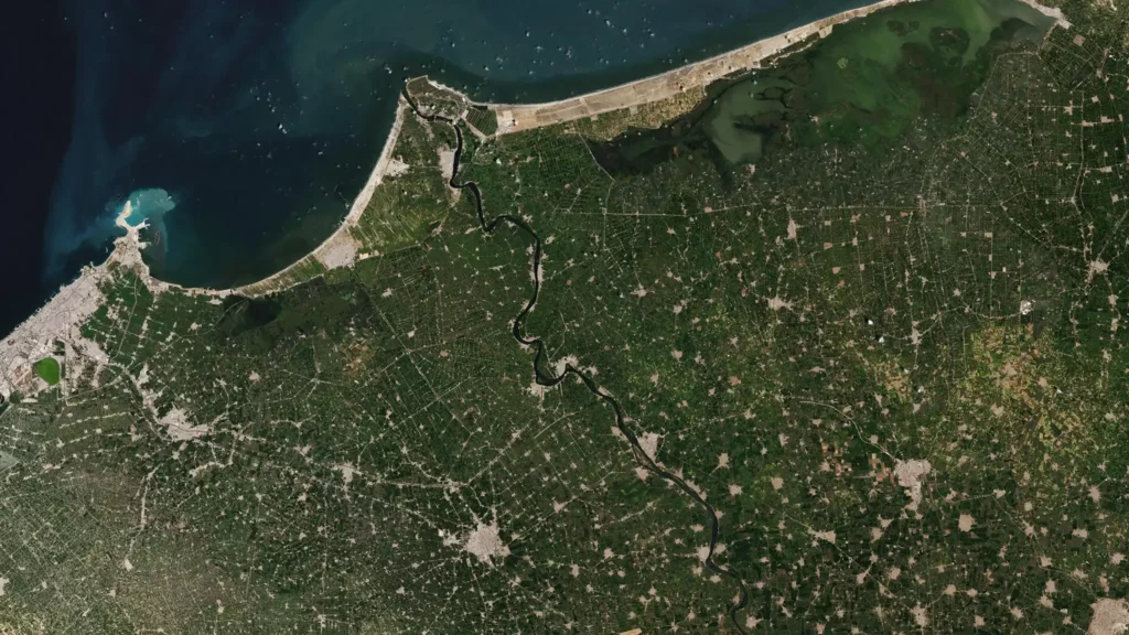
Agriculture
Using crop growth models and relevant datasets, along with Earth Observation and weather data, Skytek’s Crop Monitoring tool provides crop profiling and monitoring data together with yield estimations.
Our Products
Leveraging satellite imagery and analytics to deliver unique insights on properties, vessels and regions